Black Hills Land Analysis LLC
Custom Maps
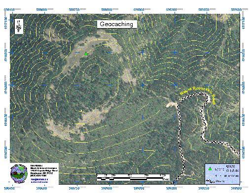
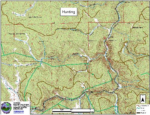
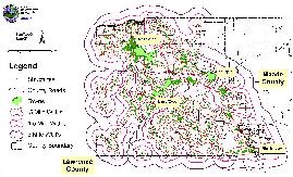
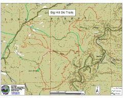
Black Hills Land Analysis will develop and supply maps for hunters, hikers, geocachers, and anyone who needs site specific maps. These are available in hard copy, or electronically as images or pdf files. Maps can be printed at any size up to 42 X 120 inches.